About me
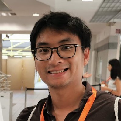
Hello! My name is Arnadi Murtiyoso (or Ari, for short). I received my Bachelor’s degree in Geodetic and Geomatics Engineering at the Bandung Institute of Technology (Indonesia) in 2011. What started as a bachelor’s thesis in 3D photogrammetric reconstruction for Javanese temples brought me to Strasbourg, France, where I completed a Master’s programme (Diplôme d’ingénieur) in topography and surveying at INSA Strasbourg in 2016.
I then continued my work in a PhD focusing on the use and exploitation of 3D technologies (photogrammetry, laser scanning, etc.) and point clouds for cultural heritage documentation. I defended my thesis in 2020 and was awarded a PhD by the University of Strasbourg. During my PhD thesis, I worked with various cultural heritage sites in France, Indonesia and Italy. From 2022 to 2024 I worked as a postdoc researcher at the Forest Resources Management group at ETH Zurich, Switzerland, where I investigate the use of 3D technologies to support a virtual forest system.
Starting from 2025 I am a tenure-track Junior Professor at INSA Strasbourg for the Chair of Digital Twin for Cultural Heritage. The focus of the Chair is the investigation of the various interactions between built cultural heritage (primarily urban) and the climate. This inevitably includes studies and developments of cutting-edge geomatics techniques. These topics represent a concrete application of geomatics in the service of cultural heritage, while also taking environmental aspects into account.
I am always open for collaborations and discussions! If you have anything to talk on the topic of photogrammetry, geomatics, point clouds or 3D heritage documentation, don’t hesitate to email me or contact/connect with me via any of the social media handles that you can find on the sidebar!
